
Trade Shows
| 26.02. - 28.02.2019, Nuremberg |
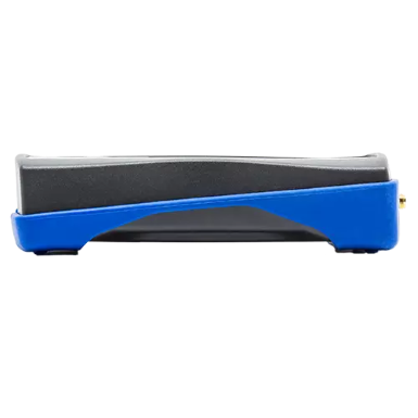
The SNYPER-LTE+ Spectrum (EU) is a high performance, multi-language network signal analyser dedicated to surveying the 4G/LTE, 3G/UMTS & 2G/ GSM European networks. The SNYPER-LTE+ Spectrum (EU) does not require a SIM in order to provide network survey results.
The SNYPER-LTE+ Spectrum (EU) can save multiple surveys locally in memory and incorporates Siretta’s leading liveSCAN feature which allows you to perform real time graphical site surveys on the full colour SNYPER display.
The SNYPER-LTE+ Spectrum is supplied with an omni-directional antenna to detect “hotspots” in buildings and perform site surveys and also includes a directional antenna kit to perform point-to-point antenna alignment. The SNYPER can survey the local network and display results from all discovered cellular cell towers observed in the area. Results are ordered from highest to lowest “visible” base-station signal and the key network parameters of each are displayed.


SNYPER Application Example

Usage examples:
- SIM free network survey for all cellular networks
- Perform site survey to determine highest signal strength
- Real time LiveSCAN feature to determine basestation position
- Optimum antenna placement
- Best network performance for a site
- Evaluate performance of existing installations
- Best choice of network operator for a site
- Rank network signal strengths in order
Features:
- 2G/3G/LTE (EU) Survey
- 2.4" QVGA TFT
- Temperature Range: -10°C to +50°C
- Vcc: 5V via USB supply and Lithium Ion Battery
- Bettery Life: 48 hours (based on 20 surveys/day)
- Save up to 84 Surveys locally
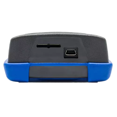
- Download survey results via USB mass storage device
- Compatible with Windows, MAC OS and Linux
- Simple menu driven interface to select options
- Battery charge status indication on screen
- Powerful ARM processor delivers fast results
Downloads
| SNYPER-LTE-Spectrum Datasheet V1.0 | 404.3 KB |
| SNYPER Family Product Comparison | 905.95 KB | |
| SNYPER Programming Rev. 1.1 | 1.95 MB | |
| SNYPER-Graphyte - Show me how Rev. 1.3 | 3.56 MB | |
| SNYPER-Graphyte Kit Contents | 219.3 KB | |
| SNYPER-Graphyte Quick Start Guide Rev. 1.6 | 617.16 KB | |
| SNYPER-Graphyte User Manual | 3.62 MB | |
| SNYPER-LTE - 7 great things | 605.31 KB | |
| SNYPER-LTE Family User Manual | 2.32 MB | |
| SNYPER-LTE Quick Start Guide Rev. 1.2 | 621.31 KB | |
| SNYPER-LTE-Spectrum Quick Start Guide Rev. 1.2 | 621.31 KB |
Overview CloudSURVEY Map Portal
The CloudSURVEY portal allows you to export and store all your measurement results from a compatible SNYPER product to your account in the cloud. The CloudSURVEY software has a wide range of features that allow you to view the approximate location of base stations on a map and determine the most appropriate network for your application.
The CloudSURVEY portal simultaneously calculates the total available network resources in the area where the measurement was taken and shows the relative dominance of each mobile operator. This allows you to make an informed decision on the optimal mobile network, taking into account network technology, network reliability, average signal strength, base station position and network density.
The user can apply filters to customize the list of results, and in addition, the portal has the ability to determine where your base stations are located relative to where your measurements are taken. All measurements can be provided with their own categories and notes for future comparisons.
● Providing approximate base station location information for all available networks
● Store all network measurements in a central location in the cloud
● Retrieve network measurements and compare results
● Identify and categorize network measurements
● Dynamic display of individual network technologies on a single card
● Dynamic display of network signal strength heat map
● Automatic calculation of network dominance for each saved survey
● Visualize advanced network parameters for easy comparison

F: +49 (0) 2129 376-209